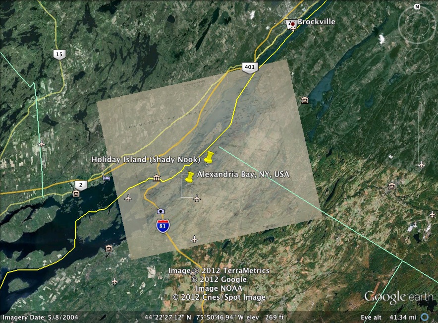
For this exercise I chose to do an image overlay for the Thousand Islands, NY. This region contains significant family history for me. It is the area where my grandfather and his family grew up during the Great Depression. My great aunt, my grandfather’s sister, had her eye on one of the islands for years and eventually purchased it. When she passed away about 10 years ago, she left it to my father and our family. Our little paradise “Shady Nook,” is still listed on Google Maps under it’s prior name “Holiday Island.” The map overlay is a map of Alexandria Bay from 1903, reprinted in 1908. Overall, the map matched up rather well. Doing this exercise reinforced the idea that maps and charts vary greatly, and when utilizing these resources for purposes such as our digital history project, and that the resources we chose must best suit the purpose.
Lauren's Digital Past Blog
Just another onMason site
